
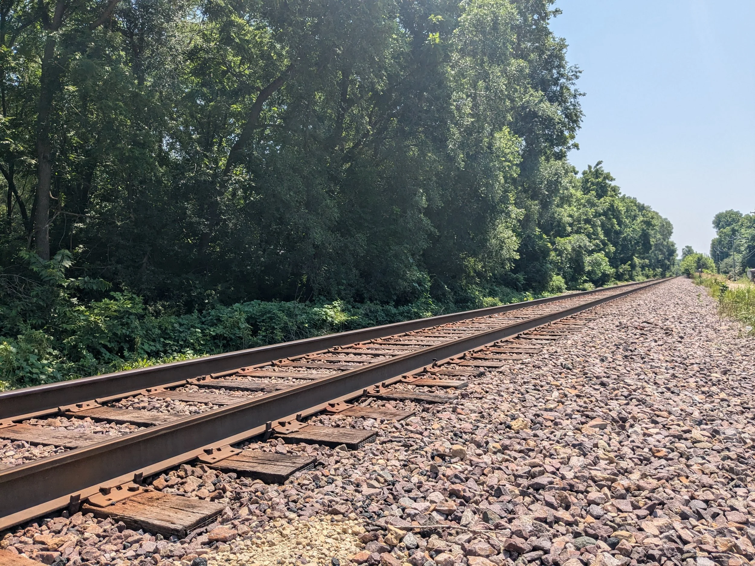
South Concord Corridor
Zoning Study
The City of South St. Paul initiated the South Concord Corridor Study to evaluate the economic development and redevelopment potential within the Study Area. The “South Concord Corridor” included land in the southeastern corner of South St. Paul, bordered by Interstate 494 to the north, Inver Grove Heights to the south, a 100-foot-tall bluff to the west, and the Mississippi River to the east. The City’s 2040 Comprehensive Plan identified this corridor as a prime opportunity for redevelopment. As such, the City selected SHC and partners as the consultant team to complete a zoning study of the area. SHC tackled the Market Study component of the Project by utilizing relevant market data and GIS tools. The intent is that the Market Study will guide the preparation of the Corridor Vision which will subsequently require certain amendments to the Comprehensive Plan and the Zoning Ordinance.
The full zoning study is available here.
